20 Years
Assessment of urban expansion
66
Threatened Species
AI-driven
Spatial analysis with Terrak.io
The Challenge
The ACT Office of the Commissioner for Sustainability and Environment needed to understand the environmental impact of two decades of urban growth around Canberra.
Traditional methods couldn't provide the comprehensive, quantitative analysis required to inform critical policy decisions about future development.
The Commissioner was investigating whether planning legislation and environmental protections were adequately protecting the ACT's unique ecosystems and threatened species as the city expanded.
With 66 threatened species and critically endangered ecological communities at stake, they needed robust evidence to support recommendations to government.
The Solution
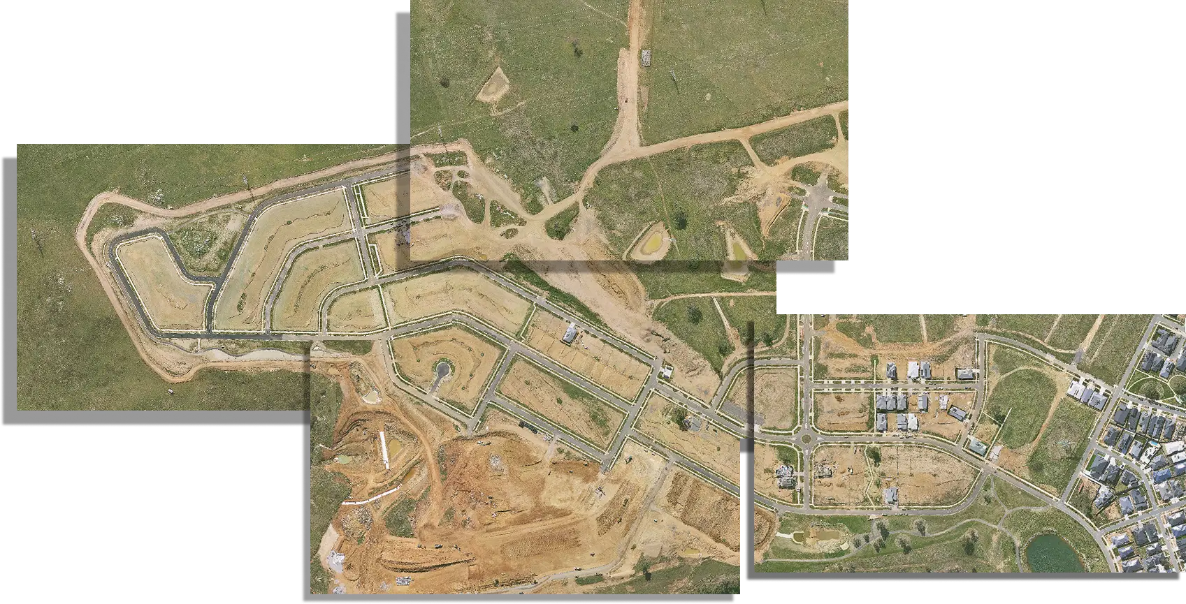
Haizea Analytics developed a comprehensive assessment combining AI-enhanced satellite analysis with the Terrak.io platform to deliver unprecedented insights into urban expansion impacts from 2004-2024.
AI-enhanced environmental insights
High-resolution analysis of urban growth, vegetation change, and ecosystem condition from 2004–2024.
Threatened species intelligence
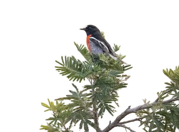
Assessment of habitat changes affecting 29 key species.
Dynamic data access
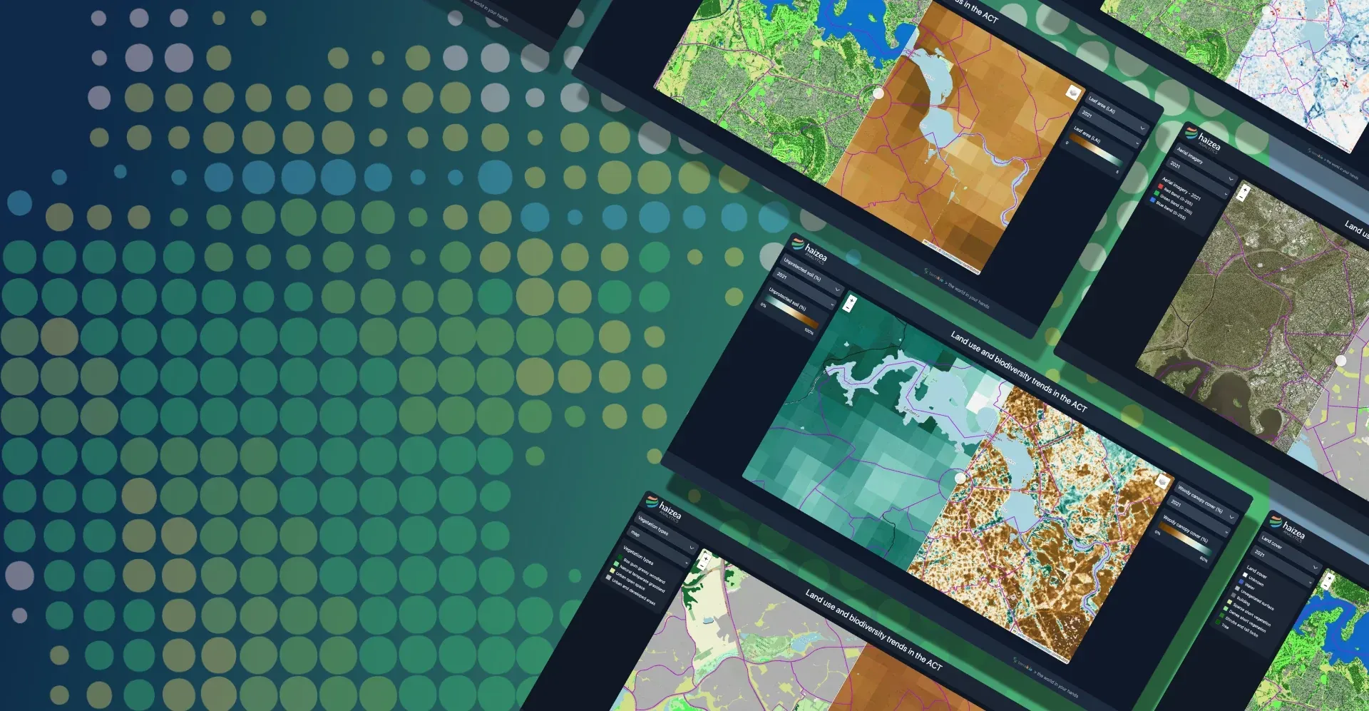
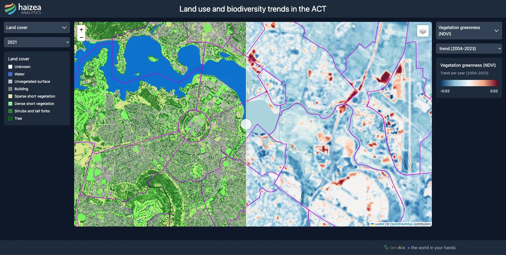
An interactive web platform (https://act.terrak.io/) that puts 20 years of environmental intelligence at users’ fingertips.
Public transparency
Clear, accessible insights for government, researchers, and the community.
How It Works
From subjective assessments to evidence-based environmental policy through 20 years of satellite analysis
Proprietary AI Processing
Haizea's specialized AI methods analysed high-resolution airborne imagery and LiDAR data, providing detailed mapping of urban growth and vegetation changes over 20 years.
Multi-temporal Analysis
Processed 20 years of satellite data (2004-2024) to track building footprint expansion, vegetation loss, and ecosystem impacts with unprecedented spatial and temporal detail.
Species Impact Assessment
Analysed relationships between urban development and populations of 29 threatened species affected by habitat loss, providing objective evidence for conservation priorities.
Interactive Data Explorer
Created a comprehensive web-based tool at act.terrak.io enabling users to explore land use changes, vegetation trends, and biodiversity impacts with real-time analytics.
Evidence-Based Policy
Replaced subjective assessments with verifiable data, enabling predictive capabilities and proactive environmental management backed by objective measurements.
Insights That Can Change Policy
20-year trend analysis: revealing patterns invisible to traditional monitoring approaches, providing objective measurements to replace subjective assessments with verifiable data.
Quantified development impacts: providing objective evidence for policy decisions with unprecedented spatial and temporal detail, enabling predictive capabilities for proactive environmental management.
Habitat condition mapping: with comprehensive environmental intelligence delivering actionable insights that support defensible policy positions backed by rigorous scientific analysis.
15 legislative recommendations: for environmental protection and urban planning reform, directly informing a comprehensive government report tabled in the ACT Legislative Assembly.
Explore Our Case Studies
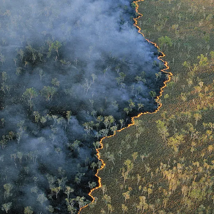
Continental bushfire intelligence with an AI agent
OzHazard — Terrakio Agent in production
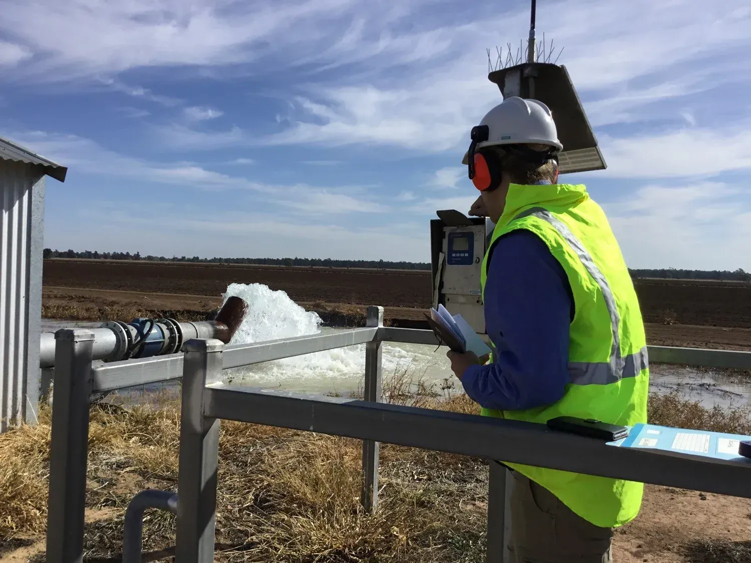
Water license compliance monitoring in NSW
Government Water Authority
Evidence-based environmental policy in the ACT
ACT Government Sustainability
Annual environmental reporting across Australia
TERN & ANU Environmental Monitoring
Ready to transform your environmental monitoring?
Leverage the same AI-enhanced satellite analysis and interactive platforms that informed legislative change in the ACT. Contact Haizea Analytics to learn how our technology can deliver evidence-based insights for your environmental policy and planning decisions.