Haizea’s satellite processing enabled NSW’s Natural Resources Access Regulator (NRAR) to transform from reactive property inspections to proactive screening of thousands of agricultural properties simultaneously.
The Challenge
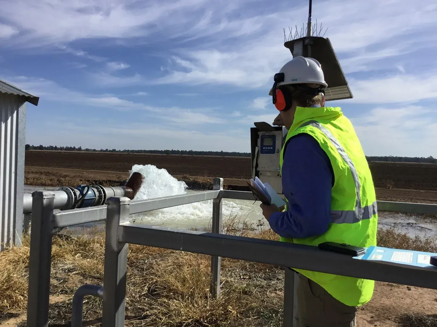
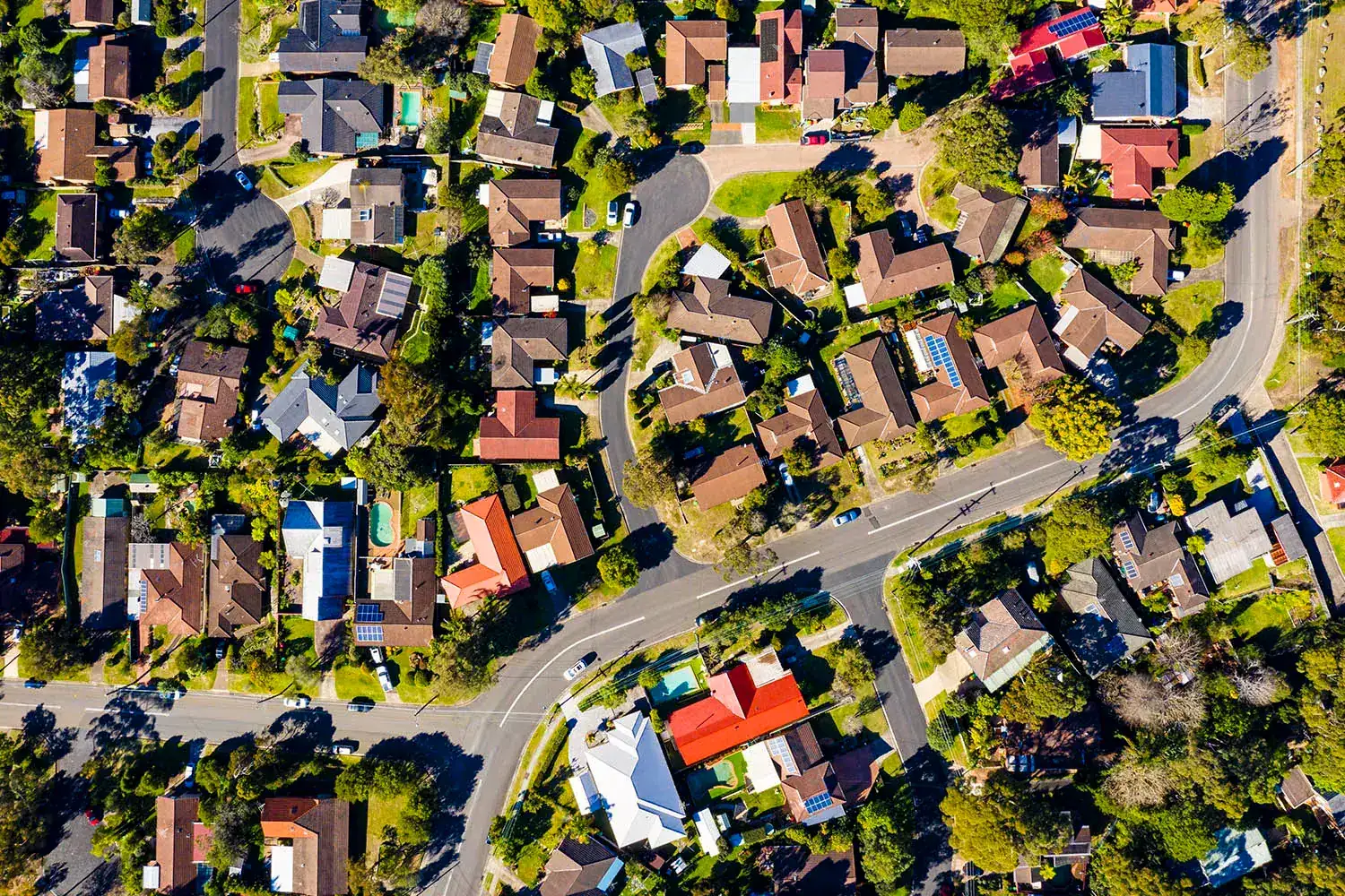
NSW's Natural Resources Access Regulator (NRAR) needed to monitor water usage across thousands of agricultural properties with limited resources.
Traditional compliance methods - sending inspectors to manually check meters - couldn't provide the comprehensive coverage needed for effective water management at scale.
Manual inspection can only detect a few issues at a time...
The Solution
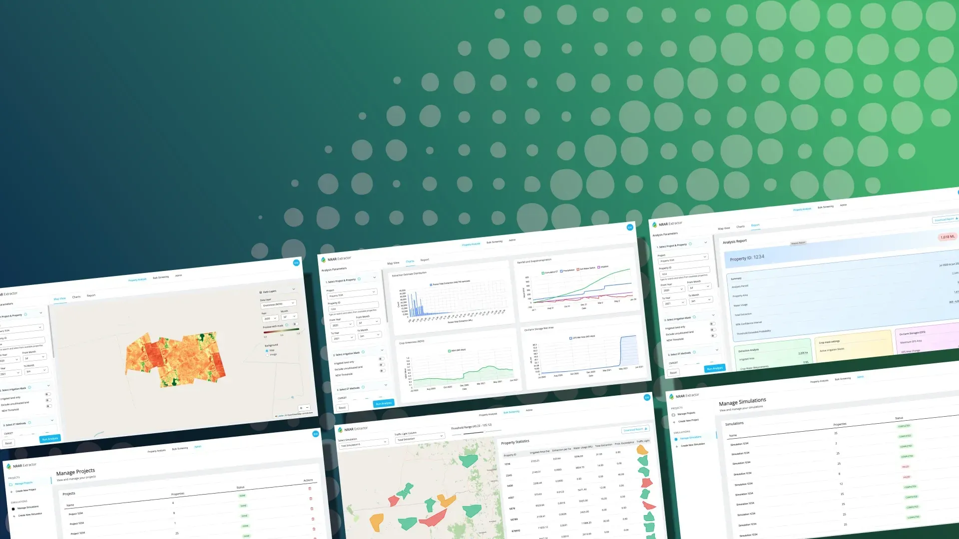
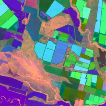
NRAR partnered with Haizea Analytics to develop monitoring tools using AI-enhanced Sentinel-2 satellite data and theTerrak.io platform
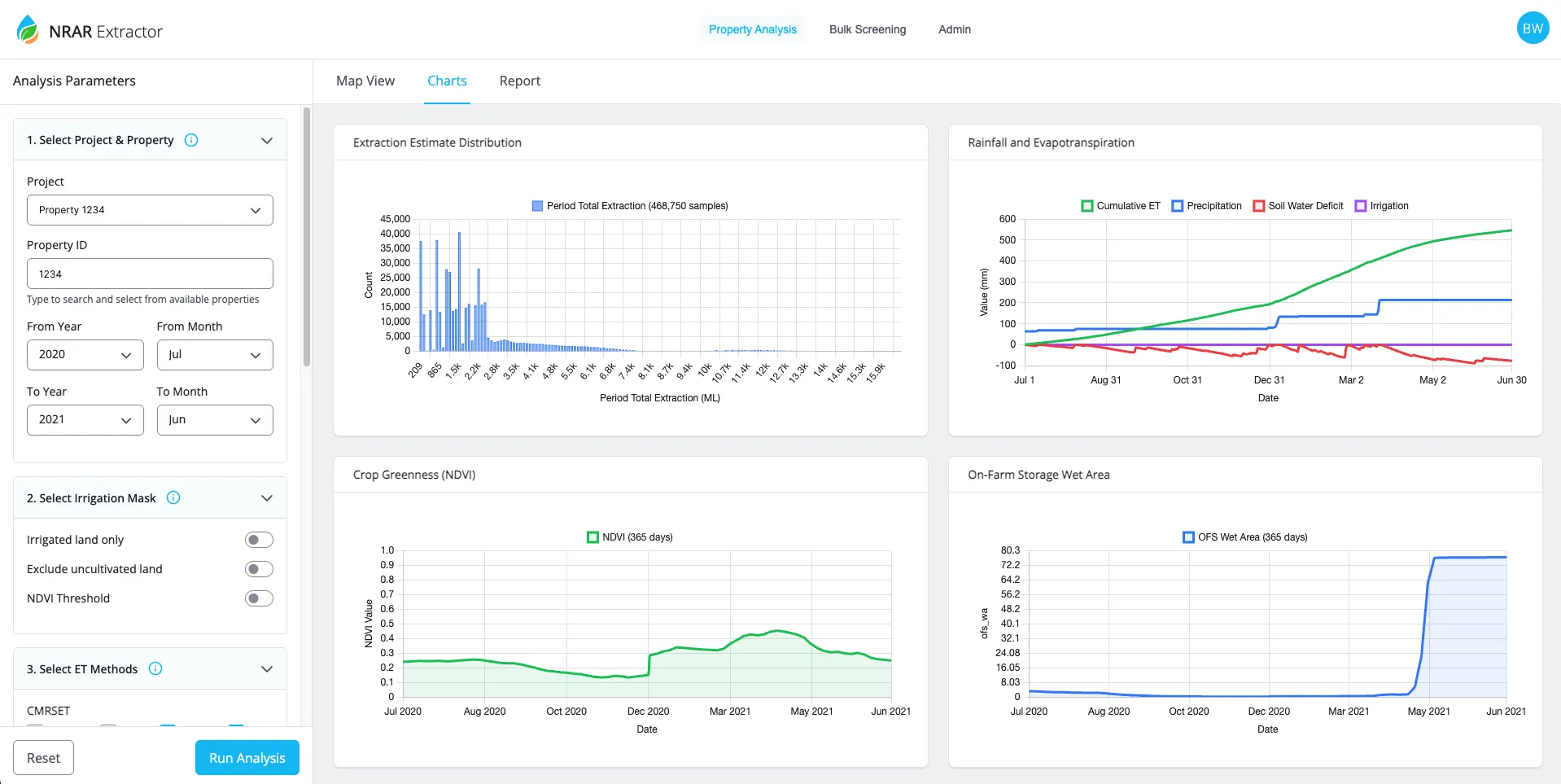
EXTRACTOR automatically screens properties for potential non-compliance by comparing what farmers report with satellite estimates of actual water usage.
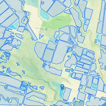
WATER STORAGE EXPLORER monitors on-farm water storage using LiDAR data across over 1,200 storage facilities.
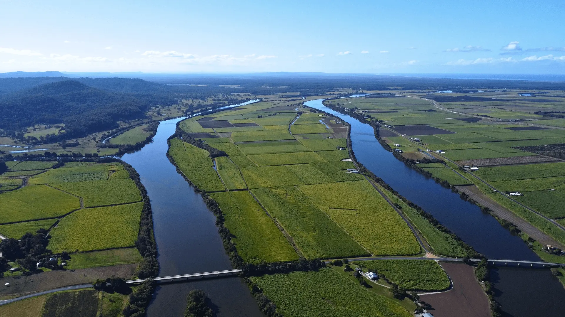
Satellite monitoring reveals the full scope of issues across the entire region.
How It Works
The system analyses satellite images to calculate how much water crops are actually using based on their growth and health, then compares this with reported meter readings.


Ready-to-Use Satellite Data
AI processing removes atmospheric interference and image noise, delivering clean data without manual correction.
Mass Screening
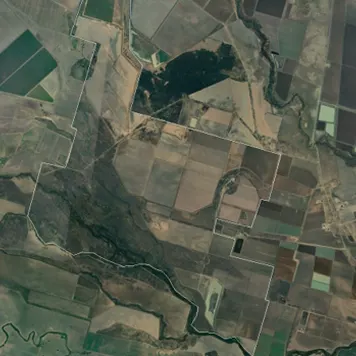
Simultaneous analysis across thousands of properties to identify potential issues.
Historical Tracking
Analysis extending back to 2016-17 for trend identification.
User-Friendly Interface
Compliance officers can operate the system without remote sensing expertise.

Our Technology enabled NRAR to:
Scale monitoring: Move from reactive, individual property inspections to proactive screening of thousands of properties simultaneously
Target resources: Focus limited compliance staff on properties where satellite data indicates potential non-compliance
Improve accuracy: Use objective satellite measurements instead of relying solely on self- reported meter readings
Enhance transparency: Provide consistent, data- driven monitoring across all properties using the same satellite-based methodology
Explore Our Case Studies
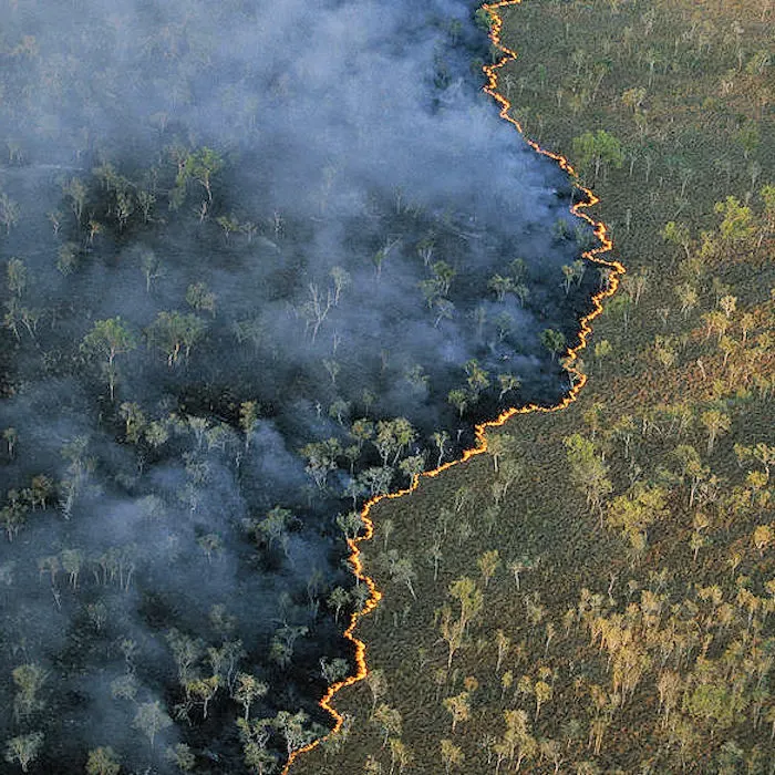
Continental bushfire intelligence with an AI agent
OzHazard — Terrakio Agent in production
Water license compliance monitoring in NSW
Government Water Authority
Evidence-based environmental policy in the ACT
ACT Government Sustainability
Annual environmental reporting across Australia
TERN & ANU Environmental Monitoring
Ready to explore how satellite monitoring can transform your compliance operations?
Contact Haizea Analytics to learn more about our Sentinel-2 data and Terrak.io platform.