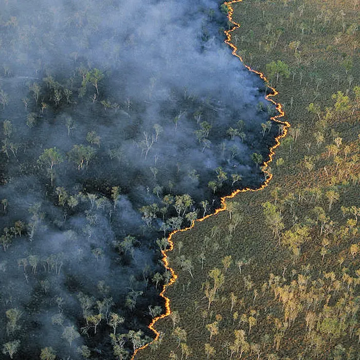
Hotspots
Raw thermal detections arriving every half hour
Context
Terrain, fuel load and population enriching every cluster
OzHazard
Powered by the Terrakio Agent
The Challenge
Thermal detections, satellite frames and lightning strikes arrive across Australia by the thousand every day. Most are noise. Building a current map of which ones are actually fires has historically meant analysts watching feeds in shifts.
A thermal pixel on its own is not a fire. You have to know what is underneath it (forest, grazing land, an industrial site that runs hot), how the terrain shapes its spread, who is downwind, and whether a state agency has already logged it. Only then can you call it.
What was needed was a system that runs continuously, remembers what it concluded last cycle, publishes the live picture rather than a backward-looking summary, and keeps every call auditable after the fact.
The Solution
OzHazard is a domain profile over the Terrakio Agent (Haizea's AI-driven geospatial intelligence service), running on top of the Terrakio analytics engine. Terrakio normally analyses geospatial data after the fact; OzHazard wires the same engine into a live operational loop that keeps up with fires as they evolve.
Autonomous Sense–Reason–Publish Loop
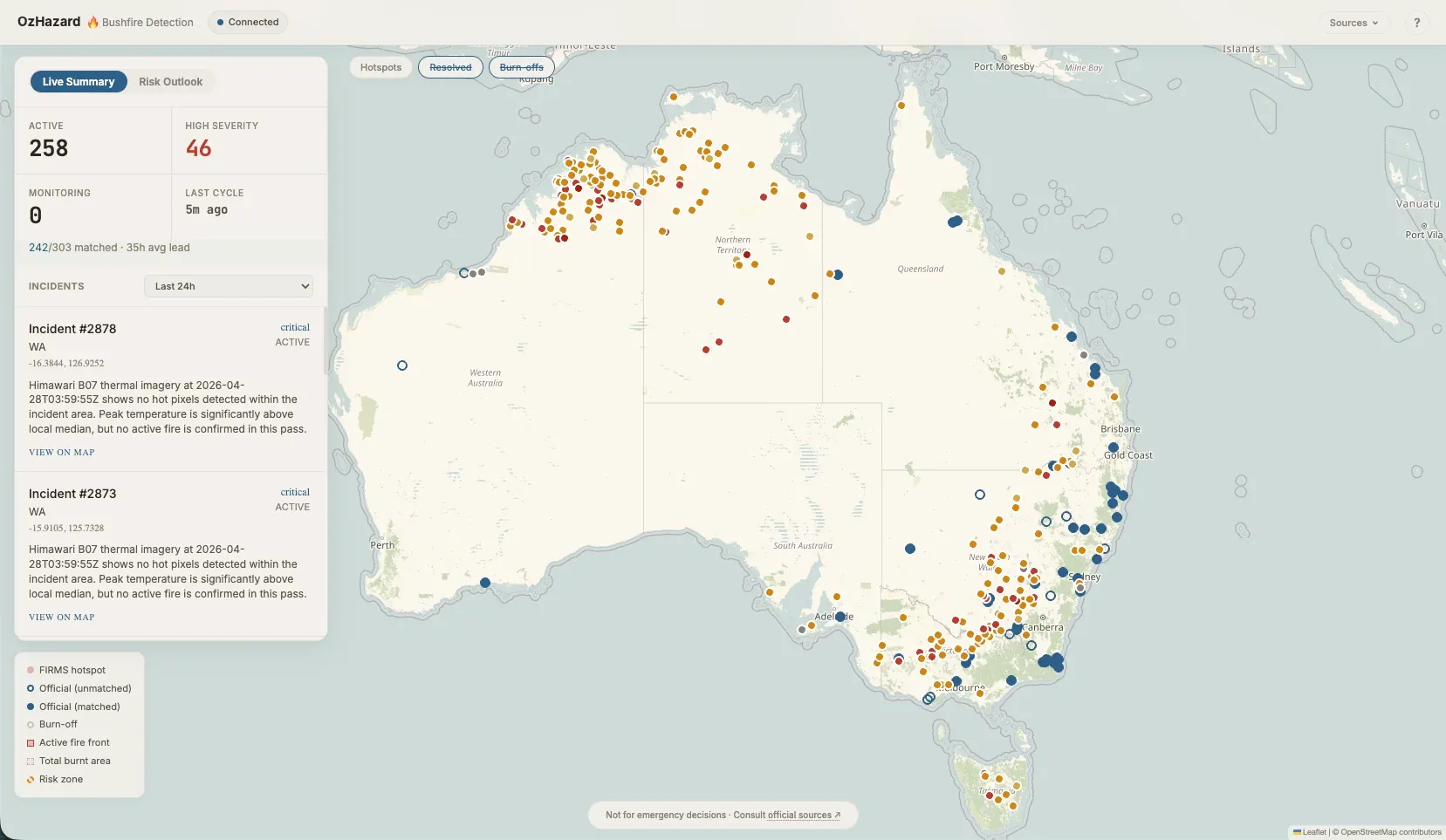
OzHazard runs the Terrakio Agent as a continuous service: it ingests FIRMS, Himawari, lightning and agency feeds, filters and clusters them, and reasons over each event with a fixed tool set that opens, updates, merges and closes incidents on its own.
Context-Aware Enrichment
Every candidate cluster is enriched through Terrakio DSL queries against the Copernicus DEM, crown cover, land use and population density, so the agent reasons about each fire in its actual terrain and fuel context rather than as a bare coordinate.
Traceable, Correlated Intelligence
Every cycle appends to an append-only reasoning log, and every incident carries a correlation record against state agency feeds (NSW RFS, WA DFES, VIC CFA, QLD QFES, SA CFS, TAS TFS) with measured detection lead time. Performance is measurable, not asserted.
The result is a continental bushfire intelligence service delivered as both a live public dashboard and a standards-compliant API.
How It Works
A continuous sense, enrich, reason, publish and self-verify loop powered by the Terrakio Agent
Sense
FIRMS thermal detections every half hour, Himawari-8 imagery every ten minutes, a live lightning stream and feeds from state fire agencies (NSW RFS, WA DFES, VIC CFA, QLD QFES, SA CFS, TAS TFS) are filtered, deduplicated and clustered before the agent ever reasons about them.
Enrich
Each fire cluster is enriched through Terrakio DSL queries against a 30 m DEM, crown cover, land-use classification, population density and live Himawari imagery — framing every event in terrain, fuel and exposure.
Reason
A large-language-model agent with a purpose-built tool set opens, updates, merges or closes incidents, declares risk zones, issues predictions with deadlines, records observations and persists memory across cycles.
Publish
Conclusions are written to state and broadcast on a real-time event bus, feeding a live dashboard and a GeoJSON API within seconds of the agent's latest cycle.
Self-Verify
Predictions are scored against observed reality when their deadlines pass. The same pipeline has been backtested against historical events using the Geoscience Australia Historical Bushfire Boundaries dataset, producing measured lead time, IoU and F1 metrics.
OzHazard now:
Watches the continent without sleeping: an always-on agent loop that ingests thermal, geostationary, lightning and agency feeds on their native cadence and reasons over every meaningful cluster, replacing shift-based triage with a continuous operator.
Turns pixels into named incidents: each fire is tracked as a single object with geometry, severity, an active front, a cumulative burnt area and a written assessment, rather than a list of raw hotspots waiting to be interpreted.
Measures itself against ground truth: every agent-generated incident is correlated against state agency feeds (NSW RFS, WA DFES, VIC CFA, QLD QFES, SA CFS, TAS TFS), with detection lead time, false-positive rate and missed-event rate continuously quantifiable.
Publishes live to the public and to agencies: the same output drives a public dashboard with a streaming reasoning timeline and a GeoJSON API.
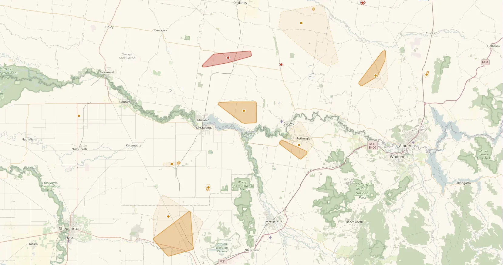
Explore Our Case Studies
Continental bushfire intelligence with an AI agent
OzHazard — Terrakio Agent in production

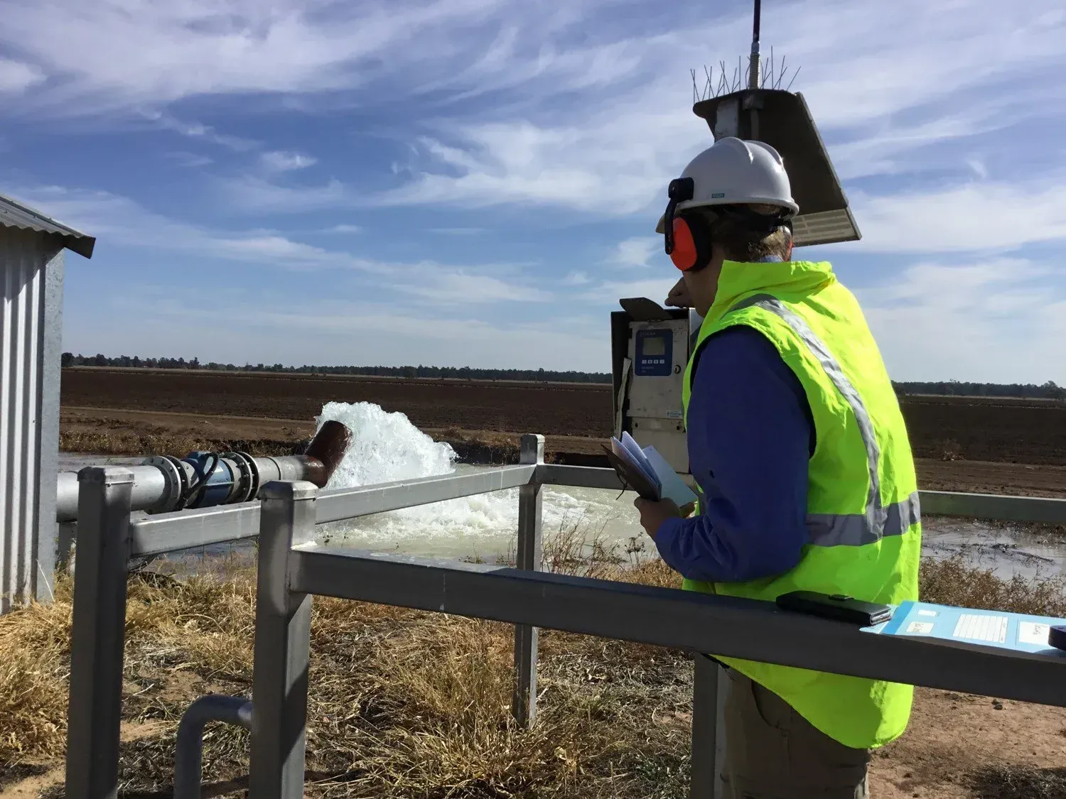
Water license compliance monitoring in NSW
Government Water Authority
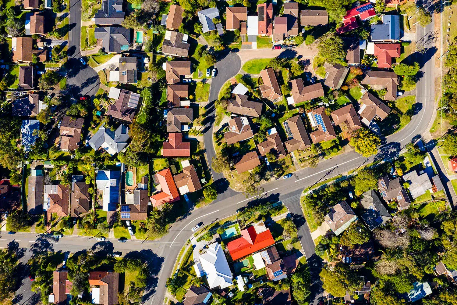
Evidence-based environmental policy in the ACT
ACT Government Sustainability
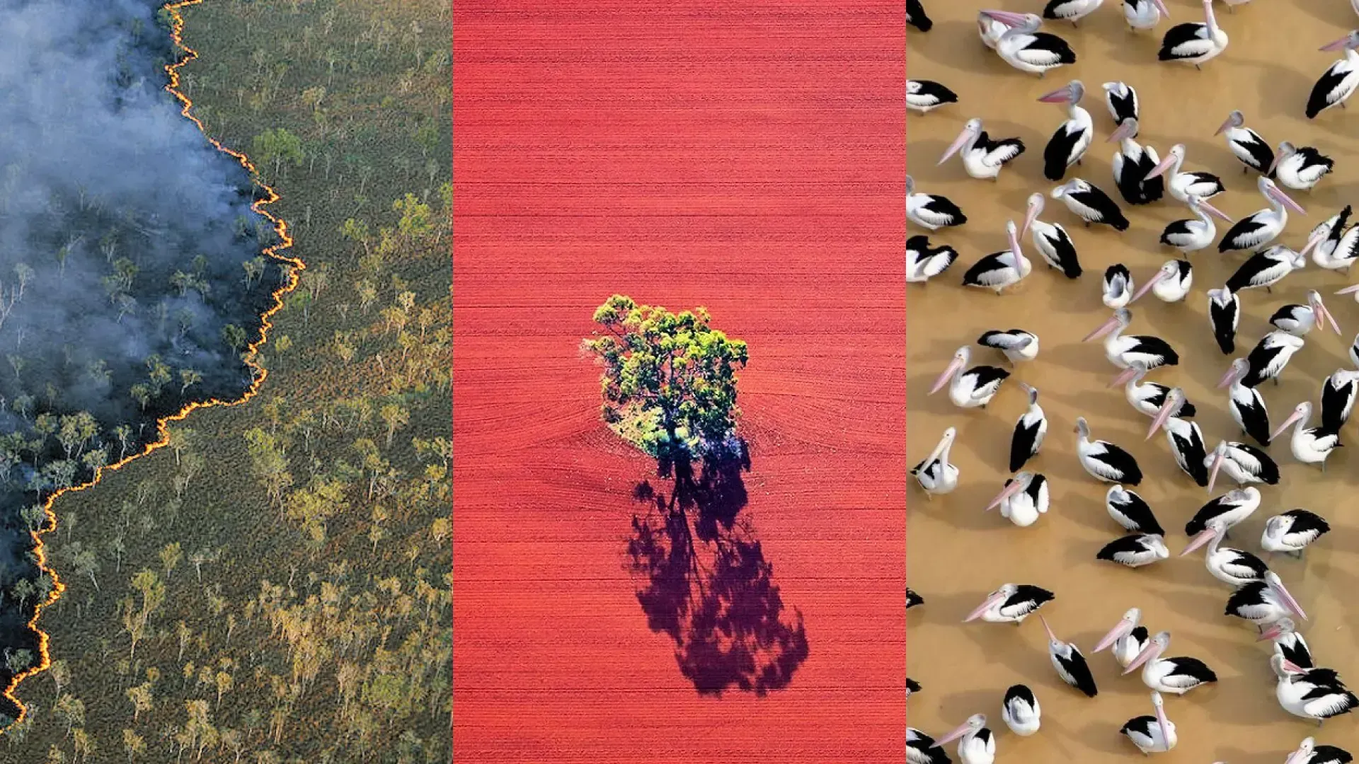
Annual environmental reporting across Australia
TERN & ANU Environmental Monitoring
Configure an always-on geospatial agent for your domain
OzHazard is one domain profile over the Terrakio Agent framework. The same sense–reason–publish loop can be re-targeted to flood watch, asset surveillance, agricultural advisory or environmental compliance.