Earth data,
lightning fast
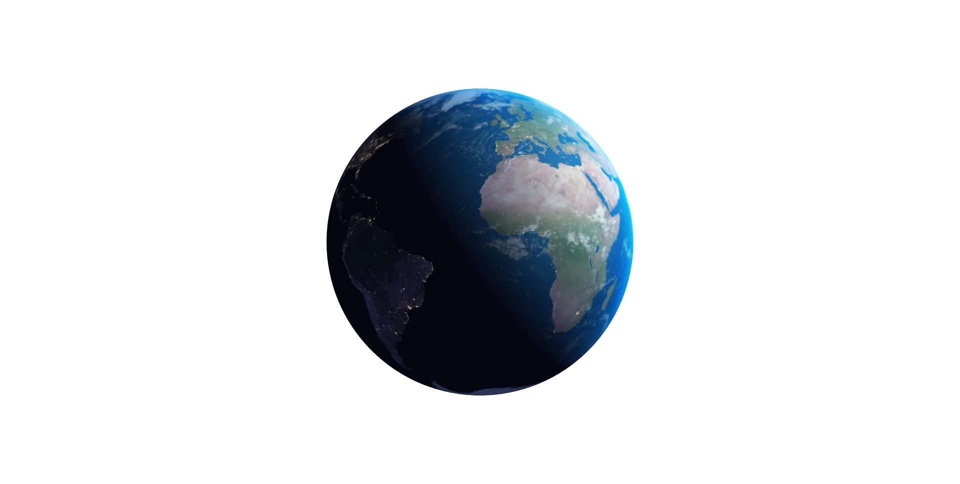
Our Data
Powered by the latest science, AI and the scalability of our cloud-based Terrak.io platform.
Smart Data Fusion
Our AI-driven fusion blends satellite and model data across missions and sensors—filling gaps, removing noise, and creating seamless time series you can rely on.
Analysis-Ready
AI-powered noise removal and gap-filling ensure every pixel represents the best possible surface estimate—no further processing required.
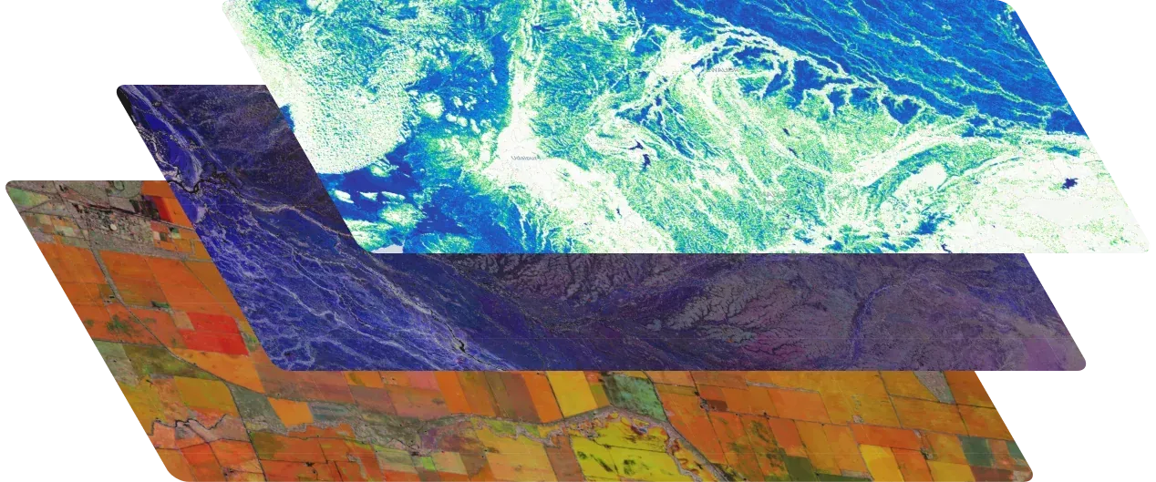
Deep Data Archive
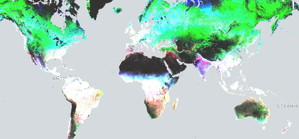
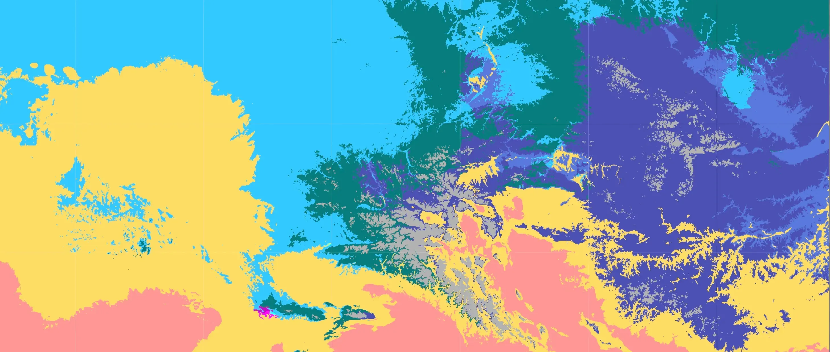
Over 150 global and region-specific datasets spanning decades of satellite missions, climate projections, and environmental layers—all standardised and queryable in one platform.
Analysis-Ready Data
Our satellite data record is up to date and seamless in space and time with atmospheric noise removed - ready for instant analysis. See some example applications below or check out the Terrak.io Playground.
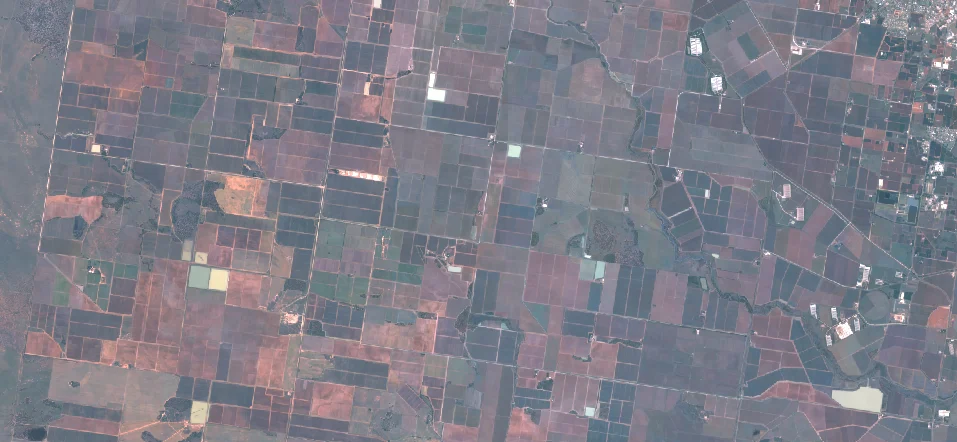
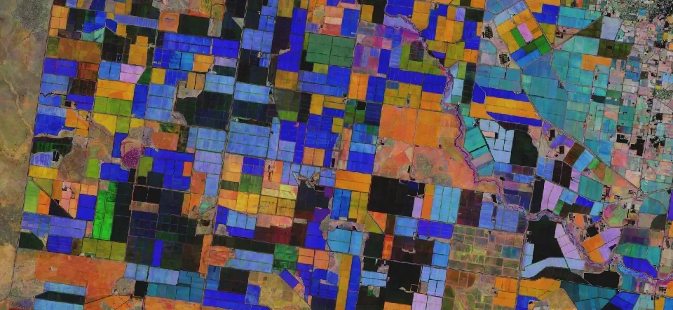
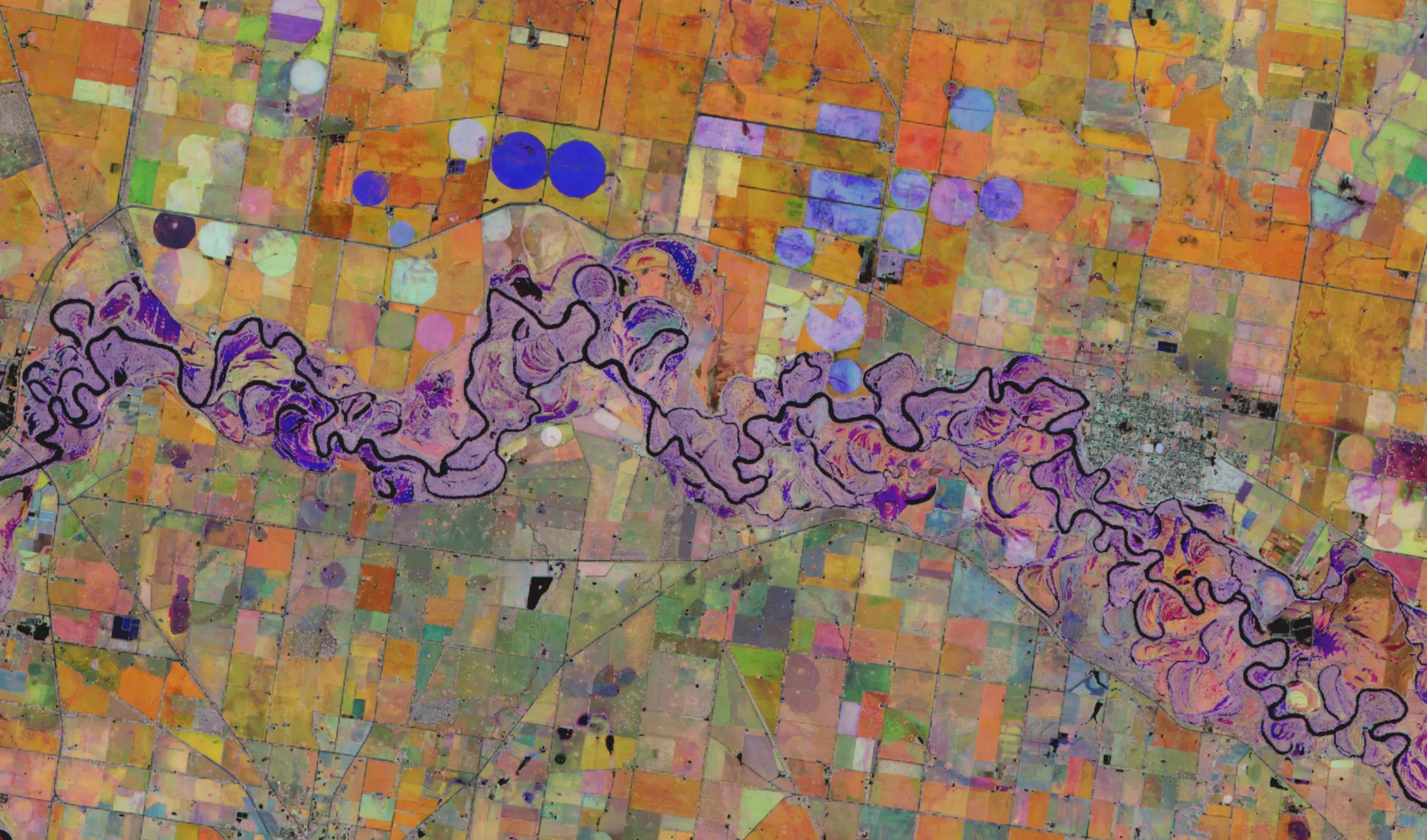
Crop type and field mapping from Sentinel-2
On the left, the mean analysis-ready Sentinel-2 imagery during 2022/2023 over a cropping area in southern NSW. The right shows, in different colours, land parcels with distinct crop cycles in spring, summer, and autumn of the same year.
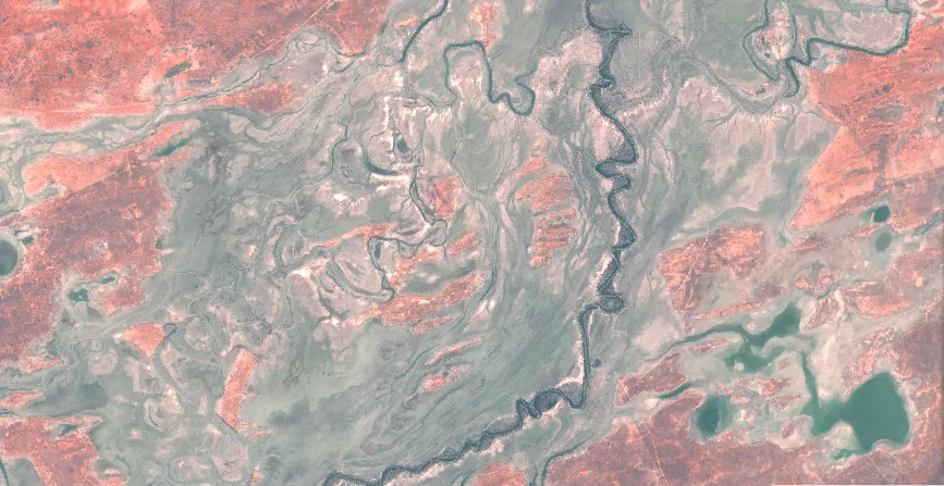
Days flood duration from Sentinel-2 imagery
On the left, the mean analysis-ready Sentinel-2 imagery over 5 months in 2022 along the Darling River, upstream of Wilcannia. On the right, the flood duration during that period based on the Normalised Difference Water Index.
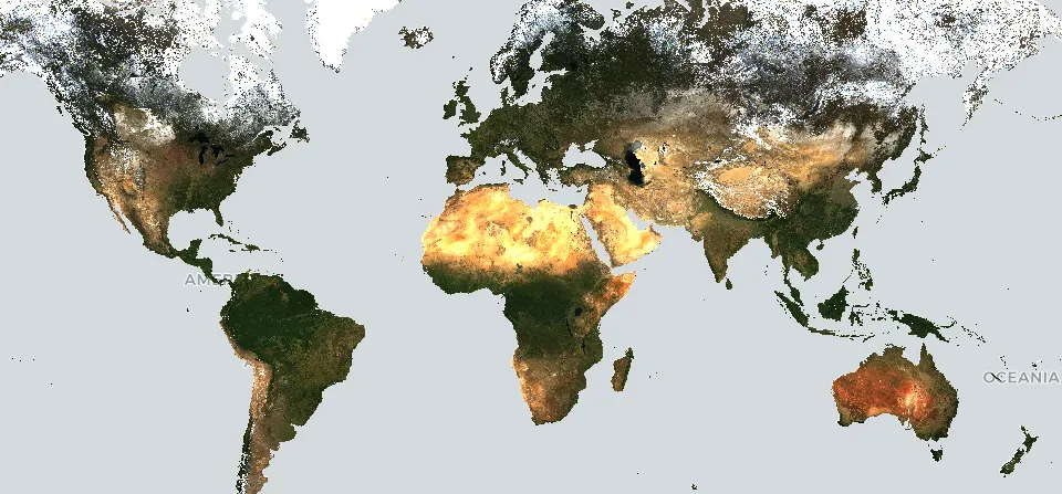
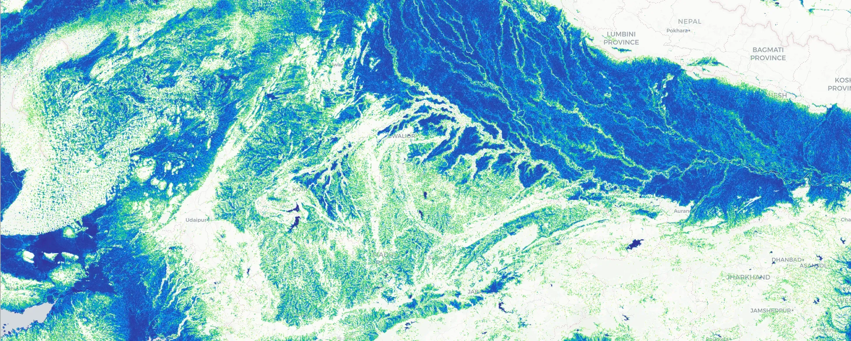
Global vegetation seasonality from MODIS
On the left, the median analysis-ready MODIS imagery for 2023. On the right, a false colour composite of vegetation cover (NDVI), with red, green, and blue representing peak vegetation cover in February, June, and October, respectively.
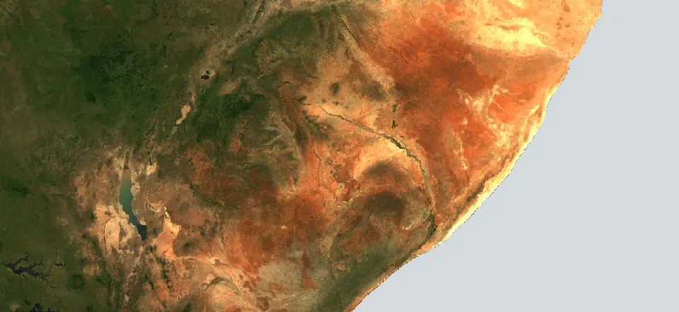
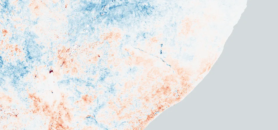
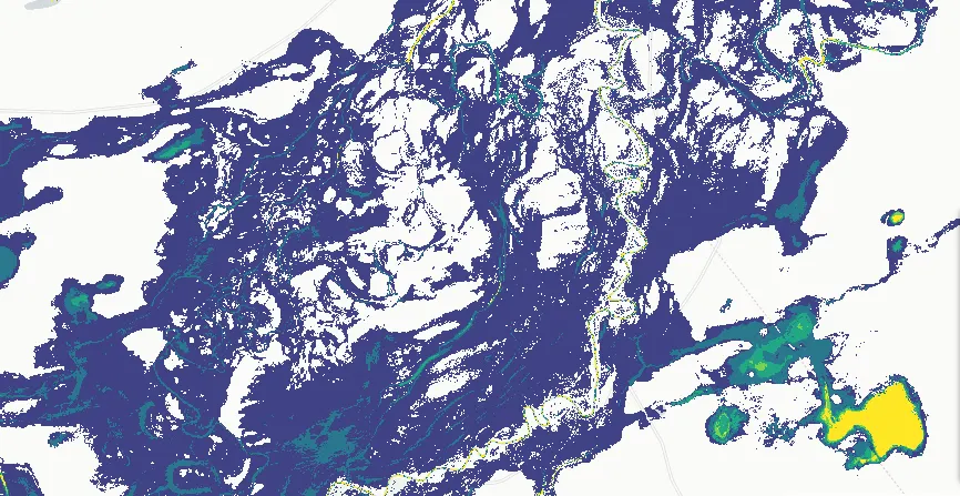
Drought monitoring using MODIS
On the left, the median analysis-ready MODIS imagery over the Horn of Africa in 2023. On the right, vegetation anomalies compared to previous years, showing areas experiencing drought impacts in reddish colours.
Our Technology
Our flagship Terrak.io platform is designed for developers and technical teams. The cloud-native technology delivers unprecedented performance in geospatial data processing and analysis.
Lightning-Fast Processing
Smart compression and parallel processing algorithms mean petabyte-scale queries return results in seconds, not minutes - so you don't have to wait around.
Infinitely Scalable Infrastructure
The cloud-native architecture handles everything from single-user queries to enterprise workloads with billions of data points - without missing a beat.
Cost-Efficient at Scale
Smart data architecture and caching reduce cloud costs and ensure access - letting you focus your budget on insight, not infrastructure.
Developer-Friendly API
Seamlessly integrate Terrak.io into your existing workflows, from simple data queries to complex analytical pipelines - in minutes.
Our Solutions
Expert solutions for complex nature challenges. From custom AI model development to enterprise-scale analytics, we help you monitor, predict and report on the world faster, more efficiently, and with scientific confidence.
Custom Geospatial Solutions
Tailored solutions built to your specifications — letting you solve your unique challenges.
- Custom web applications
- System integration
- Scalable architecture
- White-label solutions
AI Environmental Intelligence
Extract meaningful insights about Earth's systems — from vegetation change to flood impacts.
- Predictive analytics
- Anomaly detection
- Multi-source data fusion
- Real-time monitoring
Scalable Reporting & Compliance
Automated analytics and reporting built for compliance — accurate, defensible and ready for audit.
- Custom reporting tools
- Automated compliance checks
- Historical trend analysis
- API-driven export capabilities
Explore Our Case Studies
Evidence-based environmental policy in the ACT
ACT Government Sustainability
Annual environmental reporting across Australia
TERN & ANU Environmental Monitoring
Enabling Australia's Nature Repair Market
Australian Government
About Us
At Haizea, we combine deep scientific know-how with advanced AI to make satellite and climate data truly relevant.
With many years of experience in large-scale geospatial data analysis and AI model development, we help government, research and industry accelerate their climate and environmental projects — solving the hard data problems that hold others back.
Ready to transform your Earth observation workflow?
Whether you're monitoring water compliance, tracking biodiversity, or analysing agricultural landscapes, our team is here to help you leverage the full power of spatial data, AI and cloud-based technology.